3D Campus Update
3D Modeling of GT Campus and surrounding area
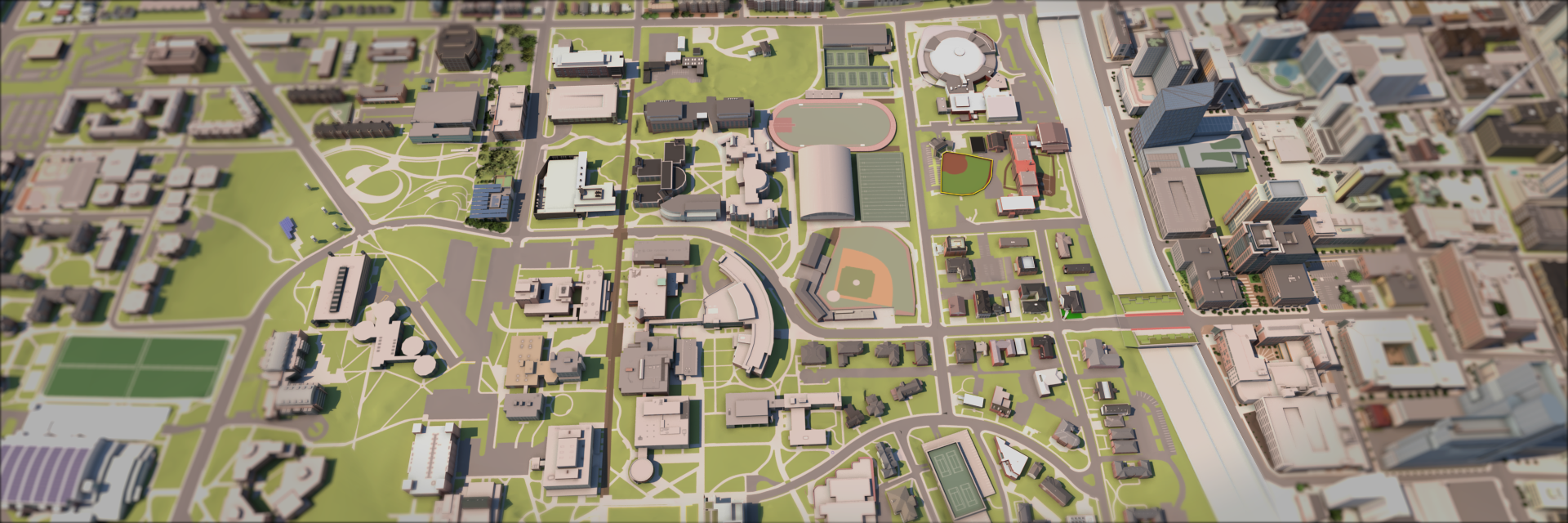
This project aims to maintain up to date the 3D model for the main Atlanta Campus of Georgia Institute of Technology. By cross-referencing self-collected Photogrammetry data, campus 3d model history and internet map sources, newly constructed, modified, or demolished buildings are accurately updated onto the campus 3D model. 3D models are further used for architectural rendering, interactive visualization, AR/VR application to support research and shared decision making for stakeholders of GATECH with capital planning.
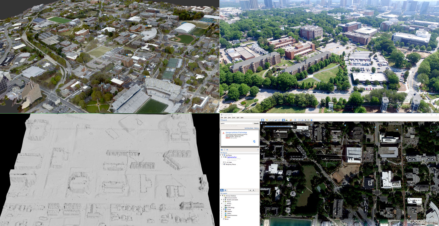
Collecting Data
Students and researchers are using various sources to collect and cross reference the data to ensure accuracy for model creation. Some of the data sources are shown: (Top Left) Photogrammetry derived from aerial imagery, (Top Right) aerial imagery captured by small UAV, (Bottom Left) LIDAR mesh, (Bottom Right) Google earth
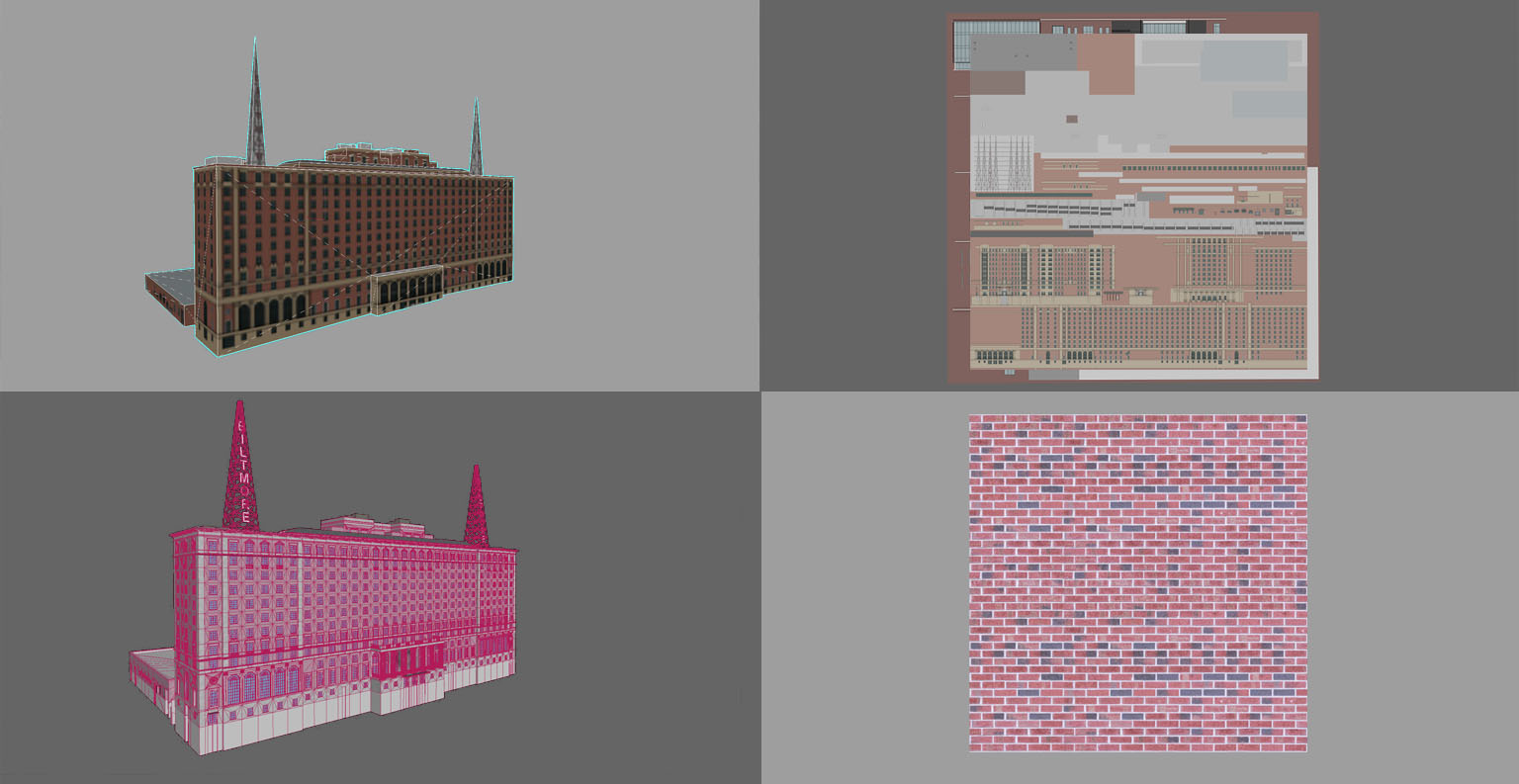
3D Modeling
Two main types of 3D models are shown: Low poly (Top) and High Poly (Bottom) with the level of detail textures.
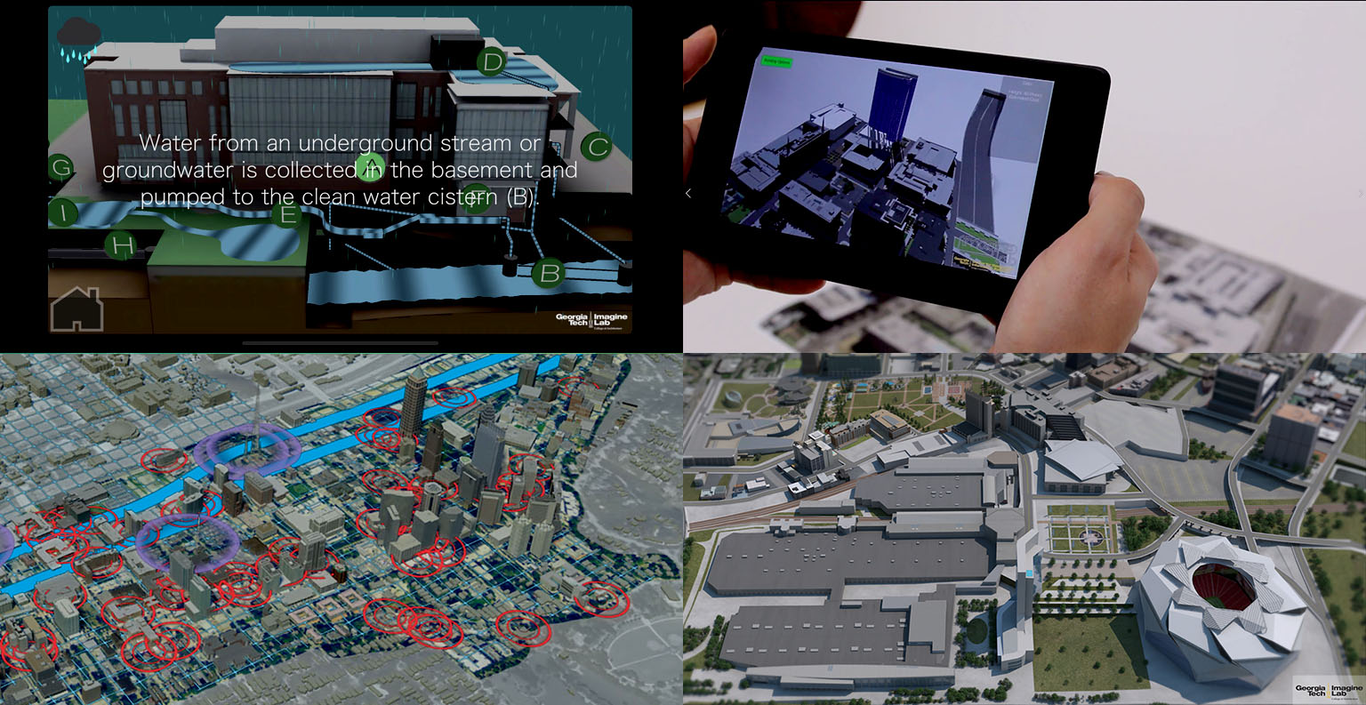
Use Cases
Low poly models are suitable for most use cases: real time processing applications such as VR/AR, mobile apps, etc. Whereas High Poly models are used for photorealistic renderings.